Home
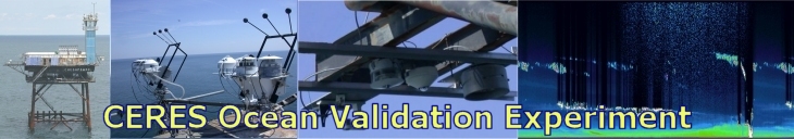
About COVE
Instruments
Data
Calibration
Research
Links
Links
Granite Island Light Station Cameras
CAM#8
View of the South Landing from the top of the Derrick
CAM#9
View from the Roof of the Tower
EOS Satellites with CERES Instruments
Aqua
PM Satellite
Terra
AM Satellite
TRMM
Tropical Rainfall Measurement Mission
Some CERES Projects
CERES
Clouds and the Earth's Radiant Energy System
Langley Links
SD
NASA LaRC Science Directorate Home Page
CAPABLE
Chemistry and Physics Atmospheric Boundary Layer Experiment
CALIPSO
Cloud-Aerosol Lidar and Infrared Pathfinder Satellite Observations
ASDC
Atmospheric Sciences Data Center
Other Links
AERONET - NASA LaRC Site
NASA Satellite Overpass Predictor
NASA Langley Satellite Imagery
NWS Short Range Base Reflectivity Radar Image -- Wakefield, VA
NWS Marine Point Forecast - Chesapeake Light, VA
NOAA SRRB Sunrise/Sunset/Solar Noon Calculator