| These parameters are further subdivided into categories that describe their use. | |||
| Instrument Settings | Baseline Subtraction Information | Calibration Information | |
| Oscillation Removal | Out of Range Conditions | . | |
Instrument Settings |
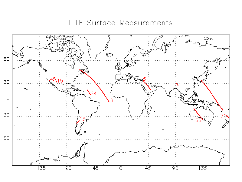
The Surface Mode Parameter indicates if the instrument is configured for surface measurements, atmospheric measurements, or in transition. The surface measurement locations can be viewed in the surface measurement display. ( surfacemode355, surfacemode532, surfacemode064 )
The Attenuation Setting Parameter contains the attenuation settings in dB. The relationship between attenuation, high voltage, and gain are presented in the Level 1 Gain Calculation Document. ( dbattenuation355, dbattenuation532, dbattenuation064 )
The Background Value Parameter contains the background levels that were reported during the LITE measurements. ( backgroundvalue355, backgroundvalue532, backgroundvalue064 )
The High Voltage Enabled Parameter indicates whether the high voltages have been enabled or disabled. ( highvoltage355enabled, highvoltage532enabled, highvoltage064enabled )
The High Voltage Parameters contains the measured high voltage values for 355 nm, 532 nm, and 1064 nm wavelengths and commanded high voltage values for 355 nm and 532 nm wavelengths. The high voltage values are in volts. The relationship between attenuation, high voltage, and gain are presented in the Level 1 Gain Calculation Document. ( highvoltage355, highvoltage532, highvoltage064, highvoltage355cmd, highvoltage532cmd )
The Energy Monitor Parameter contains the laser energy monitor values. ( energymonitor355, energymonitor532, energymonitor064 )
The Gain Parameter contains the values of the PMT gain settings for the 355 nm and 532 nm wavelengths. The APD gain for the 1064 nm wavelength is 75.0. The relationship between attenuation, high voltage, and gain are presented in the Level 1 Gain Calculation Document. ( pmtgain355, pmtgain532, apdgain064 )
The Filter Status Parameter contains the status of the movable filters. The filter positions can be out, in, or in motion. If the filter is in motion the profile will be flagged invalid. ( filterstatus355, filterstatus532, filterstatus064 )
Baseline Subtraction Information |
The Baseline Subtraction Method Parameter identifies whether the slope method or the averaged signal method was used to remove the DC offset. The Baseline Subtraction Method is described in the Level 1 Data Processing Web page. ( baselinesubmethod355, baselinesubmethod532, baselinesubmethod064 )
The Baseline Subtraction Value Parameter contains the value, in counts, that was subtracted from each element of the lidar profile during baseline subtraction.
If the baseline subtraction value is added to the Level 1 lidar profile, the newly formed profile will contain values to within 15 counts of the Level 0 profile. Count values in the range -15 to 15 indicate underflow occurred, count values greater than 4080, indicate overflow. ( b0_355, b0_532, b0_064 )
The Baseline Subtraction Region Underflow Parameter indicates if underflow occurred in the baseline subtraction region. If this condition exists the profile will be flagged invalid. ( outofrangsubreg355, outofrangsubreg532, outofrangsubreg064 )
Calibration Information |
The Calibration Status Parameter identifies whether the calibration factor has been estimated, calculated, or not available. The Level 1 System Calibration Document describes how the LITE system calibration constants were determined, discusses the variability in the system constants, and the applications of the LITE system calibration constants. ( calibrationstatus355, calibrationstatus532, calibrationstatus064 )
The Calibration Factor Parameter contains the calibration factor. ( calibrationfactor355, calibrationfactor532, calibrationfactor064 )
Oscillation Removal |
The Baseline Ripple Removed Parameter identifies whether the fixed phase baseline ripple was or was not removed. ( baselinerippleremvd355, baselinerippleremvd532, baselinerippleremvd064 )
The Oscillation Removed Parameter identifies whether the random phase baseline oscillation was or was not removed. ( oscillationremoved355, oscillationremoved532, oscillationremoved064 )
Out of Range Conditions |
Out of range parameters are used to screen the Level 1 profiles for out of range (underflow or overflow) conditions.
Underflow and overflow conditions in the raw LITE data occurred when the magnitude of the returned signal exceeded the dynamic range of the 12 bit digitizers.
Underflow Conditions: Underflow generally occurs after the instrument detects a very strong return, such as a return from the surface. The PMT becomes saturated and is not immediately able to recover. This type of underflow does not affect the quality of the lidar profile. Underflow also occurs when the instrument settings are not properly adjusted to the background light level. In this case, underflow is registered in locations above the surface. If the underflow occurs in the baseline subtraction region, the profile is flagged invalid. Otherwise, users should use their own discretion to determine the validity of the profile.
Overflow Conditions: When saturation occurs, the saturated profile value and profile values below the point of saturation are considered questionable. Saturation due to clouds, desert dust, and aerosols in the planetary boundary layer often occur. The user must determine for each lidar profile if saturation will effect the usefulness of the profile. For example, if saturation occurs near the surface and the user intends to study high level clouds, then the saturated values will not impact the cloud study. However, if a study of clouds in the PBL is undertaken, then saturation due to upper level clouds will affect the signal received below.
The Out Of Range Parameter is a packed byte array identifying which elements in the Level 1 lidar profile were out of range before Level 1 processing was performed. Unpacking this parameter yields a 3000 element array filled with values of zero or one indicating whether the preprocessed count values were in or out of range, respectively. The grid locations of this array correspond to the grid locations of the Level 1 altitude array. ( outofrange355, outofrange532, outofrange064 )
The Number of Saturated Samples Above the Surface Parameter contains the number of saturated samples between the surface and 40.0 km. The surface height is obtained from the National Geophysical Data Center TerrainBase Global DTM Version 1.0. Users should use their own discretion to determine the acceptable limit for this parameter to define a valid lidar profile. ( numbersatabovesurf355, numbersatabovesurf532, numbersatabovesurf064 )
The Highest Saturated Sample Parameter contains the altitude of the highest saturated sample from the surface to 40.0 km. ( highestsatsample355, highestsatsample532, highestsatsample064 )
The Number of Underflow Conditions Parameter contains the number of underflow samples from the surface to 40.0 km. ( numberunderflows355, numberunderflows532, numberunderflows064 )
The Out of Range Condition Above 40.0 km Parameter identifies if normal conditions, underflow, overflow, or both underflow and overflow samples above 40.0 km were present in the original lidar profile. The number of times an out of range condition occurs is not reported. ( outofrng355abv40, outofrng532abv40, outofrng064abv40 )
The Anomalous Profile Parameter flags anomalous profiles that originally passed all profile validity tests, but upon visual inspection appear to be invalid or questionable. ( anomalousprof355, anomalousprof532, anomalousprof064 )
The Valid Data Range Index Parameters contain the top and bottom index locations in the lidar profiles that define the range of valid Level 1 data. Profile values outside these range values are filled the 9999.9. There are 3000 samples in each the Level 1 profile, and each sample corresponds to an altitude grid that extends from -4.985 to 40.0 km with a 15 m vertical resolution. The highest sample, at 40.0 km, is assigned and index value of 0, the lowest sample, at -4.985 km, is assigned index value 2999. ( top355, bot355, top532, bot532, top064, bot064 )