|
|
|
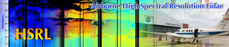
HSRL plays a crucial role in validating and supporting satellite data,
especially for the Cloud-Aerosol Lidar and Infrared Pathfinder Satellite Observation (CALIPSO) satellite.
Even the most advanced satellite instruments can at times produce data that do not seem to agree with the environment,
and it is important to be able to verify these data with another source. During 2007, after analyzing a series of readings,
anomalies within the CALIPSO calibration scheme began to surface. The results that CALIPSO reported at low latitudes and
during winter months were not expected, and there were questions as to whether or not the satellite was being accurately calibrated.
To verify the data, the CALIPSO team asked the HSRL team to take measurements in the Caribbean from January 22 February 1, 2008.
Going as far south as Barbados (about 7 degrees North latitude) aboard the NASA B-200 King Air aircraft, the team took measurements
where CALIPSO data is scarce during the wintertime and at low latitudes. After gathering the data and reconciling it with CALIPSOs
readings, the team was able to contribute to correcting the calibration problems.
|