| LITE Directory | |
| Home Page | |
| Mission Overview | |
| Data User's Guide | |
| Data FAQ's | |
| Science Steering Group | |
| Instrument | |
| Publications | |
| Images | |
| Photos | |
| Photos and Images | |
| Data Gallery | |
| Meta Data | |
| ISDB Data |
LITE Images
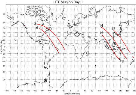
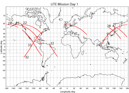
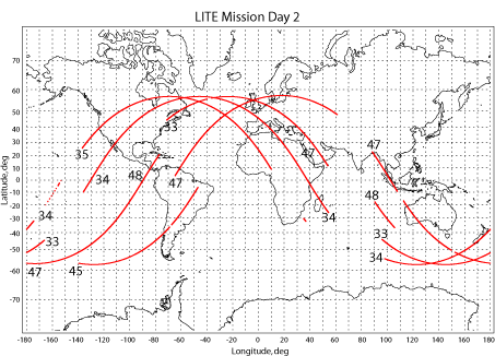
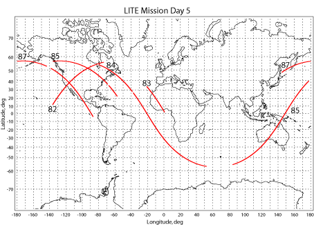
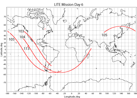
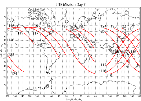
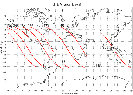
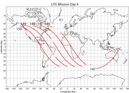
| The LITE orbit tracks grouped by Mission Day are listed below Orbit Selection Table. |
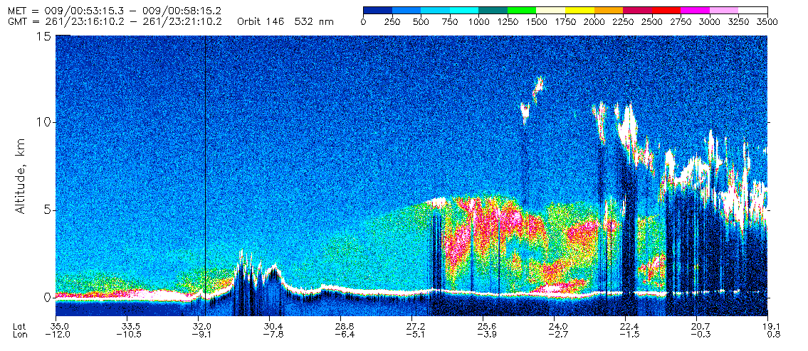
| See an example of a LITE color image below. |
| Select An Orbit from the Orbit Selection Table. |
| 355 nm 532 nm 1064 nm |
| 5 5 5 | 6 6 6 | 13 13 13 | 14 14 14 |
| 15 15 15 | 22 22 22 | 23 23 23 | 24 24 24 |
| 27 27 27 | 28 28 28 | 32 32 32 | 33 33 33 |
| 34 34 34 | 35 35 35 | 45 45 45 | 47 47 47 |
| 48 48 48 | 50 50 50 | 53 53 53 | 54 54 54 |
| 55 55 55 | 60 60 60 | 66 66 66 | 71 71 71 |
| 72 72 72 | 73 73 73 | 74 74 74 | 75 75 75 |
| 78 78 78 | 79 79 79 | 80 80 80 | 81 81 81 |
| 82 82 82 | 83 83 83 | 84 84 84 | 85 85 85 |
| 87 87 87 | 103 103 103 | 104 104 104 | 105 105 105 |
| 113 113 113 | 115 115 115 | 116 116 116 | 117 117 117 |
| 118 118 118 | 119 119 119 | 122 122 122 | 123 123 123 |
| 124 124 124 | 125 125 125 | 127 127 127 | 128 128 128 |
| 129 129 129 | 131 131 131 | 133 133 133 | 134 134 134 |
| 135 135 135 | 136 136 136 | 137 137 137 | 141 141 141 |
| 145 145 145 | 146 146 146 | 147 147 147 | 148 148 148 |
| 149 149 149 | 150 150 150 | ||
LITE orbit tracks by Mission Day.